Mountains and Cities: Traveling around Peru
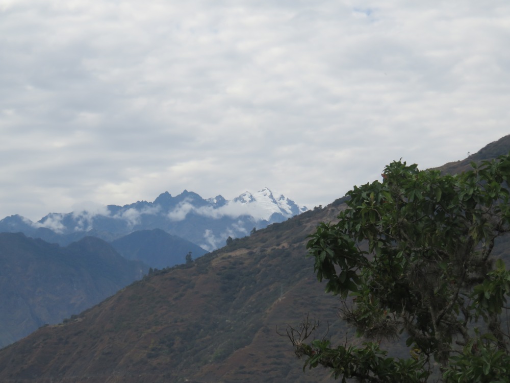
After a brief fair well to Olga and Don angel, I set off for the long ride back to Cuzco. It was nice passing through the pretty backdrop of the sacred valley one last time, complete with beautiful snow capped mountains.
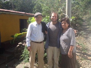
Don Angel and his wife Olga on our last day together!
I am glad I had a couple days to acclimatize to the altitude in Cuzco. After a day tying up loose ends, Nathan and I set off for the most popular tourist destination in Cuzco after Machu Picchu, Rainbow mountain. This hike took us up to 5000m, which made even the smallest incline difficult to climb up. The rainbow mountain range is very aptly named. All of the mountains had reddish soil and green vegetation. Huffing and puffing up the moderately sized hill, Nathan and I passed many alpaca and llamas, grazing beneath the snow-capped mountains.


Reaching the top, I nearly passed out upon reaching the rainbow mountain. Multi-colored bands of red, blue, and yellow soil lay side by side, making a rainbow. The neighboring mountains were also beautiful with bright red soil. I have never seen a more spectacular landscape, and I spent most of the time trying to capture it with photos from the best angle. We also hiked down to the red valley, which was equally as beautiful as the rainbow mountain, with red and green sloping hills.


Pressed for time, we ran down the mountain as it began to hail. The mountains looked stunning as the snow gave the red soil white highlights. It was amazing to see such a varied and multi colored landscape all in one small area!
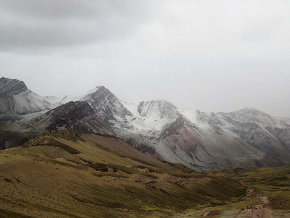
The colors come from the different minerals, such as red iron and yellow sulphur, that are found in the mountains.
The next day, we set off for Humantay lake. This was a much steeper hike, but it was easier at 4000m in elevation. The heavy rain obscured what I presume to be a nice view, but the lake was still equally beautiful, with glacial streams trickling down to the blue-green lake below. I even filled up my water bottle from the lake, and the water tasted much better than the water from the shower.
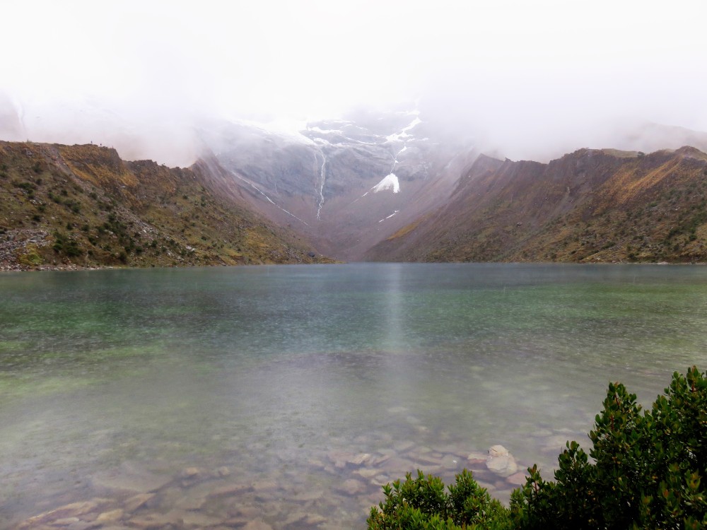
Lake Humantay, a lake made by the runoff from the glaciers on the Humantay mountain, partially seen in the background.
In the morning, we set off on a ~12 hour bus ride to Arequipa, a city to the south. This beautiful Spanish-style city was worth the painful drive; I realized how much I missed being in a proper city. Sidewalks with yellow curbs, streets with sand which shops, and promenades where you could walk without fear of traffic gave the city a more relaxed feel than Cuzco. Nathan said it reminded him of Santa Monica, while it reminded me a lot of Quito, the city I was based in during study abroad in Ecuador.
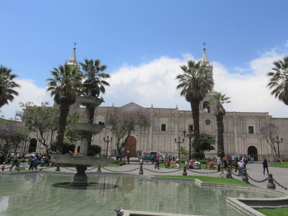
The “Plaza de Armas,” or main plaza of Arequipa.
We explored the historic center of the city for a day, visiting the Santa Catalina Monastery. It was like a small city within the city, and I learned all about the lives of the nuns, who from age 12 to their deaths lived within the walls of the confine. The Spanish architecture was beautiful, with bricks white from the ash of the volcanoes surrounding Arequipa. I felt really bad for the nuns, though several dozen still choose to live in the convent today.
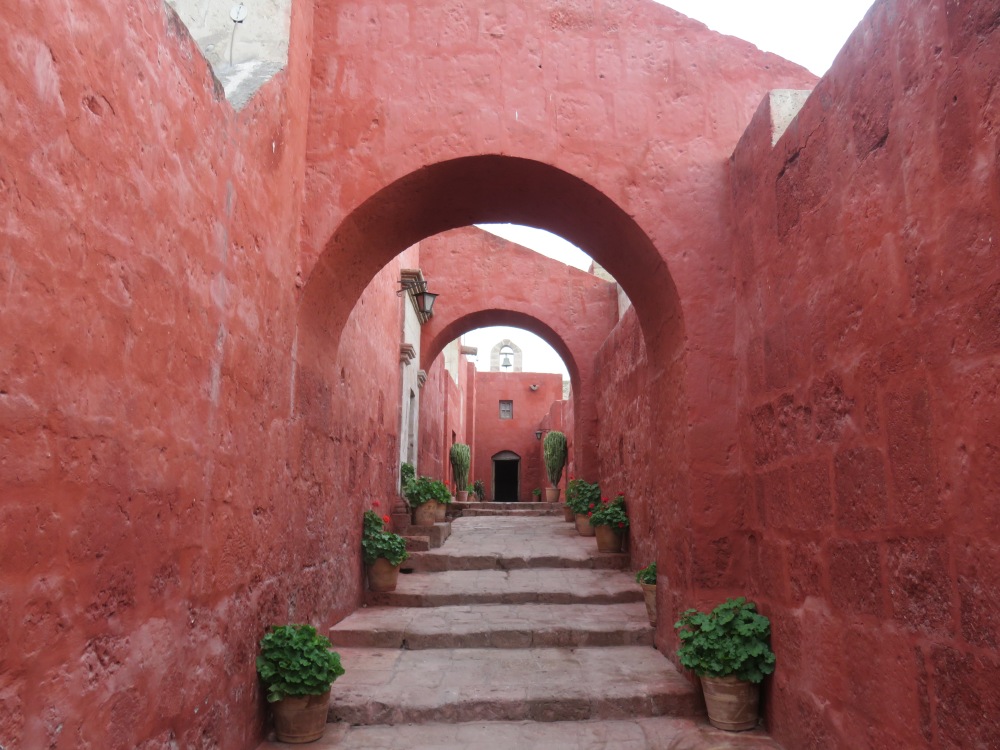
The halls of the Santa Catalina convent. The red paint rubbed right off the white bricks, so I had to be careful not to brush against the walls
Speaking of volcanoes, we saw many the next day as we went to visit Colca Canyon. We passed several of the volcanoes on the four hour long drive, making for beautiful scenery. We stopped at a small town called Maca, where I tried a pisco sour made with sour cactus fruit!
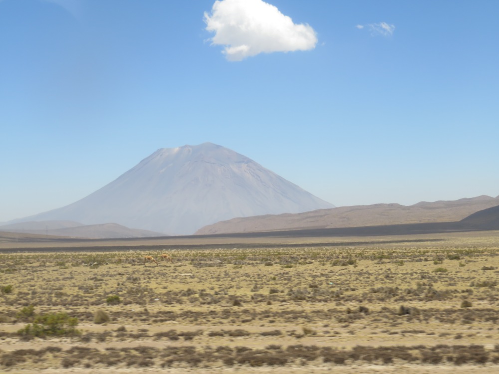
A volcano on the outskirts of Arequipa, featuring 2 vicuña feeding in the grasslands. Vicuña are the wild relatives of alpacas, and their brown fur is supposedly just as soft!
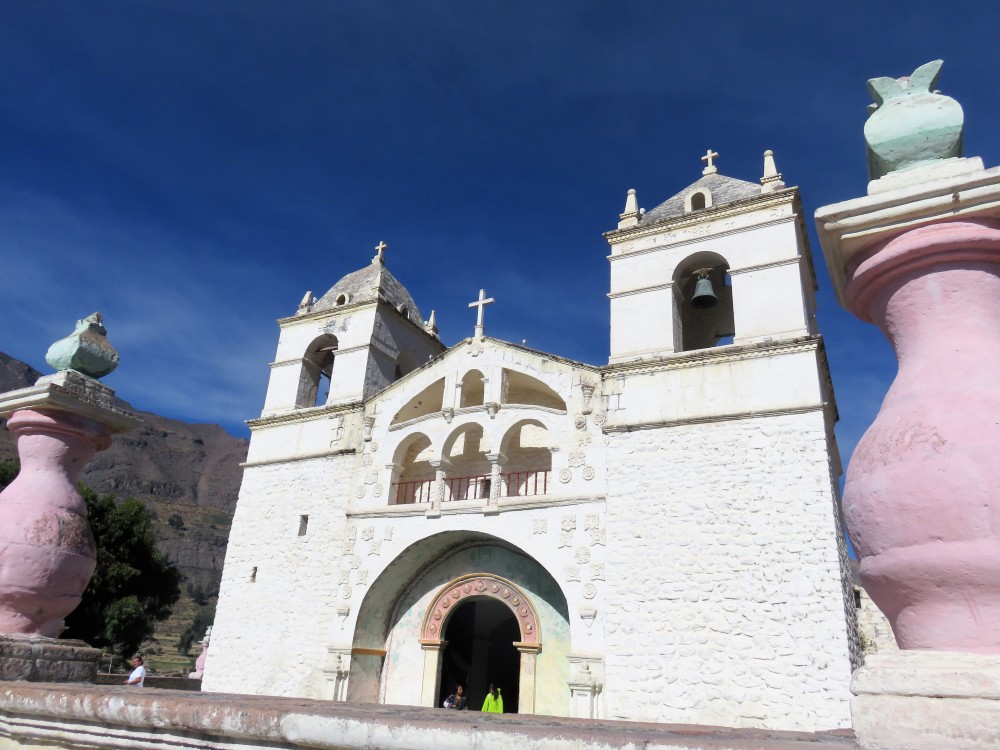
A cathedral in the town of Maca.
Without further delay, we made our way to the canyon at the point called Cross of the Condors. Here, we had the chance to see several Andean Condors!
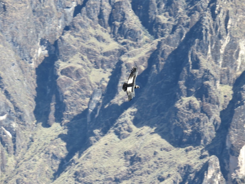
A female Andean Condor. The adults had a wingspan of up to 9 feet!
The condors enjoy using the thermal vents at this point to spiral upwards, surprising myself and the many other tourists when they appear out of thin air. I really enjoyed watching them spiral upwards, their huge wings leaving me in awe each time. I even saw a male, which has a distinctive crest on the beak.
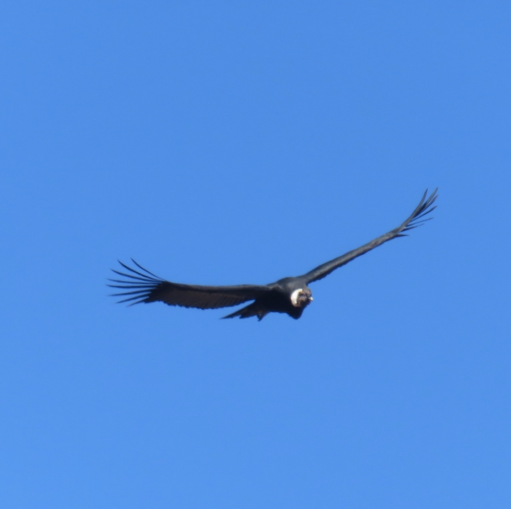
Try zooming in and seeing if you can see the large comb on this male condor’s head!
After seeing the condors, we meandered our way back to Arequipa, seeing llamas and alpacas, their wild ancestors the vicuña, and a chinchilla jumping across the rocks. Though we had to wake up at 2:30AM to go on the trip, it was definitely worth it to see the Andean desert landscape and its unique wildlife!
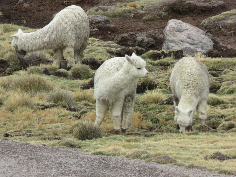
An alpaca on the farm we drove past on the return trip to Arequipa.
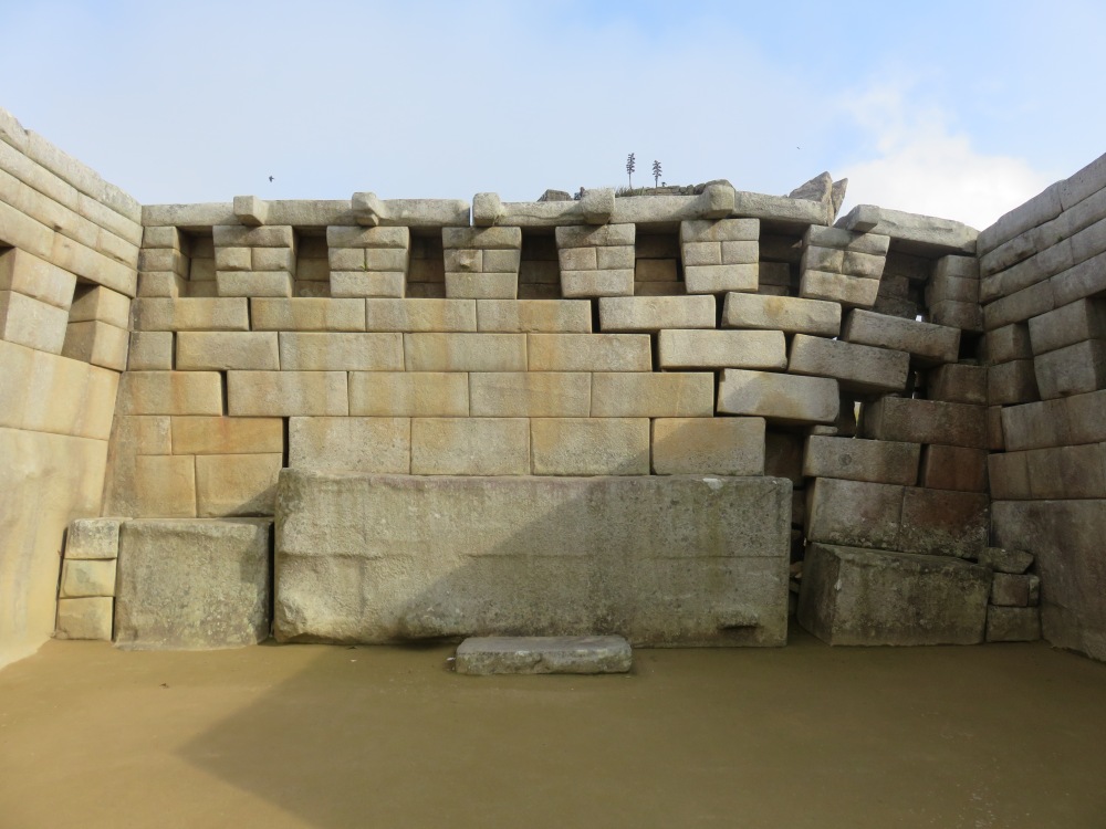
")
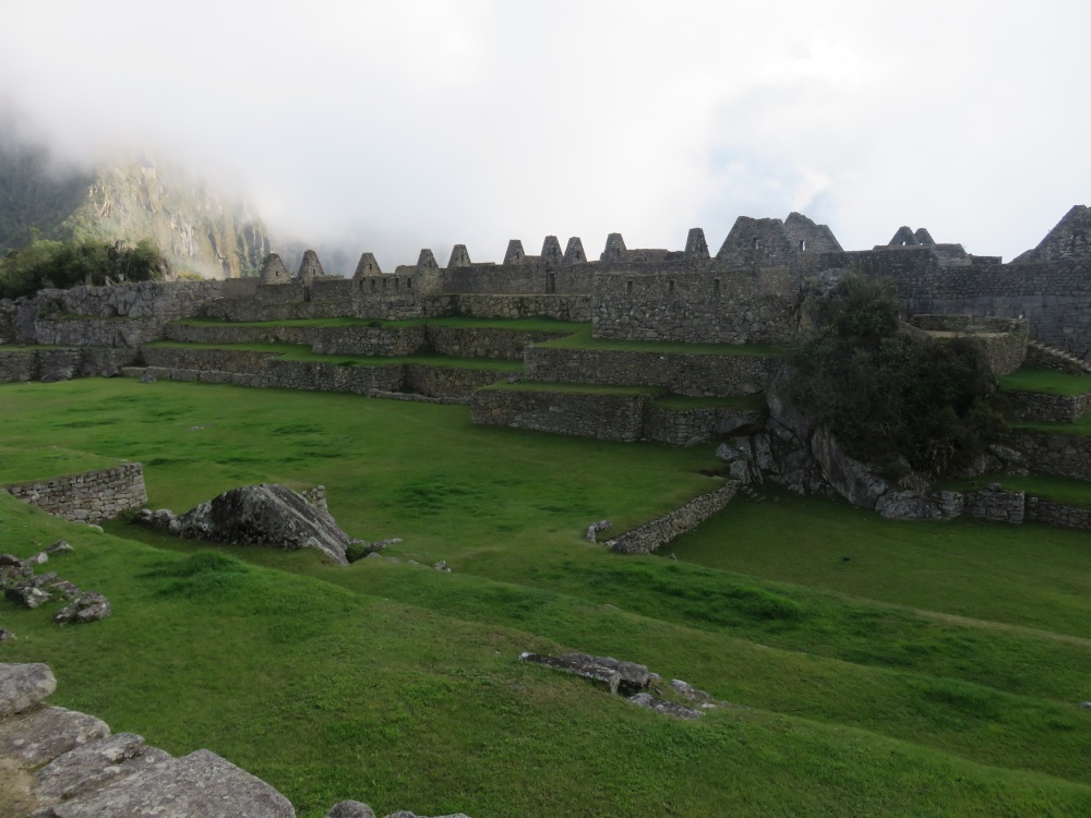
")
")
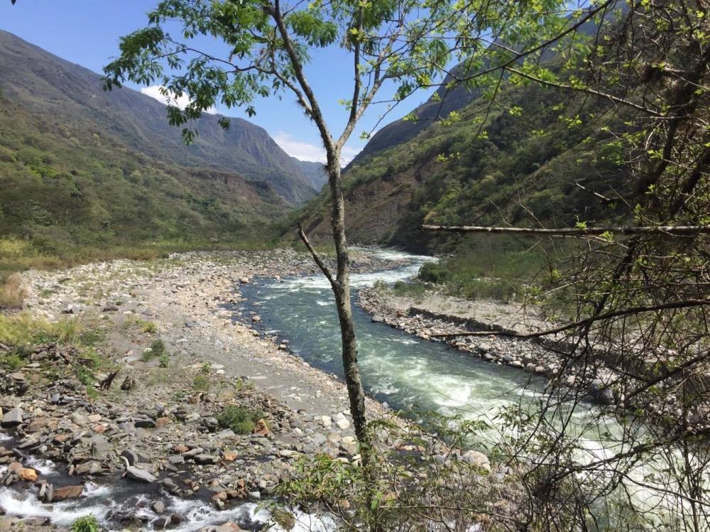
")
")
")